Proposing Storage Structures and Interpolation Algorithms of 3D Spatial Data
The rapidly growth urbanization and using high-intensity land in urban areas recently are hot topics interested in researchers of 2-3-4D GIS (2- dimensional, 3-dimensional, and 4-dimensional geographic information system) more
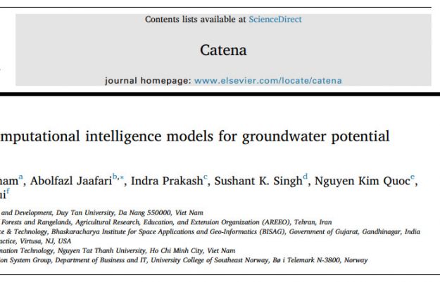
Hybrid computational intelligence models for groundwater potential mapping
Groundwater is the most important natural resource in many parts of the world that requires advanced new technologies for monitoring and control

Improving Control Mechanism at Routers in TCP/IP Network
The existing control mechanisms at the network nodes have a good active and very effective at each local router, but they do not still strong enough to control nonlinear and dynamical behaviour of the network.

Two-Stage Approach to Classifying Multidimensional Cubes for Visualization of Multivariate Data
Visualization of multivariate data is a big challenge to problems of visual analytics. A system of data visualization is composed of visual mapping stage and visual display stage.
VISUAL REPRESENTATION OF GEOGRAPHIC OBJECTS IN 3D SPACE AT LEVELS OF DIFFERENT DETAILS
Increasing of population very fast makes the urban architecture more and more become overload, which will lead to increase the positive and the negative sides in the residential community.

Visually Analyzing Evolution of Geographic Objects at Different Levels of Details Over Time
Evolutionary history of geographic objects (EHGOS) in threedimensional (3D) space at different levels of details (DLODS) over time is due tonatural law or imposed by humans and always goes on every day.


NodeJS Developer (JavaScript, SQL)
02/03/2021

02/03/2021
NodeJS Developer (JavaScript, SQL)14/07/2020
Full-Stack Developer - Attractive Salary & Benefits03/11/2019
05 Senior Java Developers (J2EE, Spring)28/09/2019
Senior UX/UI Designer19/09/2019
Talented IT Graduates Wanted To Join One Of Europe’s Most Succesful IT Companies16/09/2019
Senior Developer Fullstack (NodeJS / ReactJS / JS)16/09/2019
Free Java Training 3 Months And Paid Intern 2 Months For Korean IT Companies16/09/2019
Recruitment Information IT Support HCM staff16/09/2019
JAVA Developers (J2EE, Spring) ~$1500